
Imachen:VISTA A EST DAL MASTIO DELLA ROCCA.jpg

Grandaria d'ista previsualización: 800 × 324 pixels. Atras resolucions: 320 × 130 pixels | 640 × 259 pixels | 1024 × 415 pixels | 1280 × 519 pixels | 2560 × 1038 pixels | 10 009 × 4058 pixels.
Fichero orichinal (10 009 × 4058 píxels; grandaria d'o fichero: 4,93 MB; tipo MIME: image/jpeg)
Resumen
| Descripción |
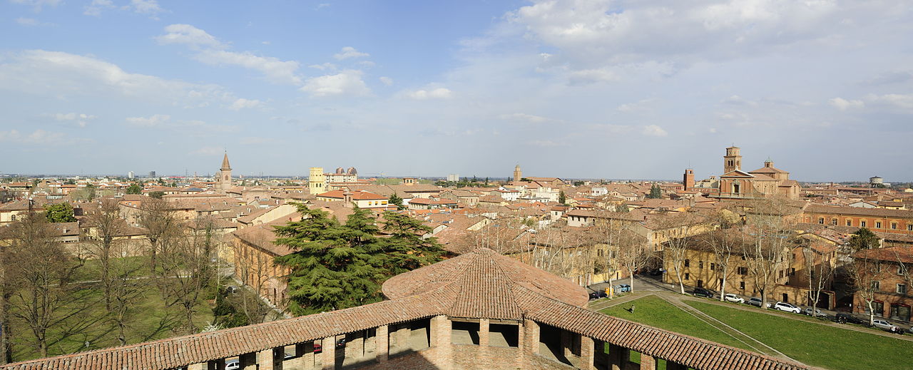
Italiano: Rocca Sforzesca - MIBAC
|
|||||
| Calendata | ||||||
| Fuent | Treballo de qui la cargó | |||||
| Autor | Bassanan |

| Posición de la cámara | | Ubicación de esta y otras imágenes en: OpenStreetMap |
|---|
Licenciando
Yo, o titular d'os dreitos d'autor d'ista obra, la publico en os termins d'a siguient licencia:
Iste fichero se troba baixo a licencia Creative Commons Chenerica d'Atribución/Compartir-Igual 3.0.
- Ye libre:
- de compartir – de copiar, distribuir y transmitir o treballo
- de remezclar – d'adaptar o treballo
- Baixo as siguients condicions:
- atribución d'autoría – Ha d'atribuir l'autoría d'o treballo d'a traza especificada por l'autor u persona que l'haiga licenciau (pero no pas de traza que suchiera que l'autor/os autors refirma(n) u refirma(n) l'uso que faigas d'o treballo).
- compartir igual – En caso d'alterar, transformar u enamplar iste treballo, habrá de distribuir o treballo resultant solament baixo a mesma licencia u beluna equivalent.

|
Esta imagen ha sido subida en el marco de Wiki Loves Monuments 2012.
|
 |
Historial d'o fichero
Punche en una calendata/hora ta veyer o fichero como amaneixeba por ixas envueltas.
| Calendata/Hora | Miniatura | Dimensions | Usuario | Comentario | |
|---|---|---|---|---|---|
| actual | 07:39 27 set 2012 | 10 009 × 4058 (4,93 MB) | Bassanan | User created page with UploadWizard |
Uso d'o fichero
A pachina siguient emplega iste fichero:
Uso de fichers globals
Os siguients wikis fan servir iste fichero:
- Uso en avk.wikipedia.org
- Uso en eo.wikipedia.org
- Uso en it.wikipedia.org
- Uso en pl.wiktionary.org
- Uso en szl.wikipedia.org
- Uso en tr.wikipedia.org
- Uso en vo.wikipedia.org