
Imachen:Uganda location map.svg

Fichero orichinal (fichero SVG, nominalment 1441 × 1466 píxels, grandaria: 431 kB)
Resumen
| Descripción |
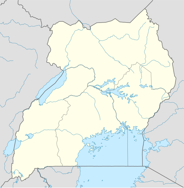
Deutsch: Positionskarte von Uganda
Quadratische Plattkarte. Geographische Begrenzung der Karte:
English: Location map of Uganda
Equirectangular projection. Geographic limits of the map:
|
|
| Calendata | ||
| Fuent |
Treballo de qui la cargó, using
|
|
| Autor | NordNordWest | |
| Permiso (Reutilización d'iste fichero) |
Iste fichero se troba baixo a licencia Creative Commons Reconoixencia-Compartir baixo a mesma licencia 3.0 Alemanya.
 Iste fichero se troba baixo a licencia Creative Commons Reconoixencia-Compartir baixo a mesma licencia 3.0 Alemanya.
|
|
| Atras versions |
Derivative works of this file: Uganda location map Topographic.png |


|
Este mapa se ha hecho o mejorado en el Kartenwerkstatt (taller cartográfico) alemán. También puede proponer mapas para mejorar.
|
Historial d'o fichero
Punche en una calendata/hora ta veyer o fichero como amaneixeba por ixas envueltas.
| Calendata/Hora | Miniatura | Dimensions | Usuario | Comentario | |
|---|---|---|---|---|---|
| actual | 19:25 1 avi 2009 | | 1441 × 1466 (431 kB) | NordNordWest | =={{int:filedesc}}== {{Information |Description= {{de|Positionskarte von Uganda}} Quadratische Plattkarte. Geographische Begrenzung der Karte: * N: 4.5° N * S: 1.7° S * W: 29.2° O * O: 35.3° O {{en|Location map of Uganda} |
Uso d'o fichero
As 2 pachinas emplegan iste fichero:
Uso de fichers globals
Os siguients wikis fan servir iste fichero:
- Uso en af.wikipedia.org
- Uso en am.wikipedia.org
- Uso en ar.wikipedia.org
- Uso en ast.wikipedia.org
- Uso en av.wikipedia.org
- Uso en azb.wikipedia.org
- Uso en az.wikipedia.org
- Uso en be-tarask.wikipedia.org
- Uso en be.wikipedia.org
- Uso en bg.wikipedia.org
- Uso en bn.wikipedia.org
Veyer mas información sobre l'uso global d'iste fichero.