
Imachen:Kiribati location map.svg

Fichero orichinal (fichero SVG, nominalment 1488 × 673 píxels, grandaria: 68 kB)
Resumen
| Descripción |
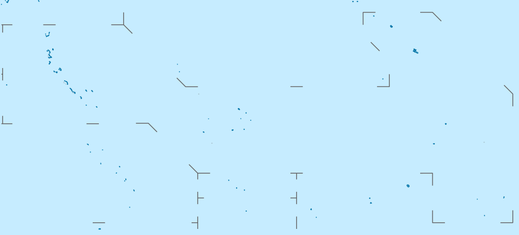
Deutsch: Positionskarte von Kiribati
Quadratische Plattkarte. Geographische Begrenzung der Karte:
English: Location map of Kiribati
Equirectangular projection. Geographic limits of the map:
|
|
| Calendata | ||
| Fuent |
Treballo de qui la cargó, using
|
|
| Autor | NordNordWest | |
| Permiso (Reutilización d'iste fichero) |
Iste fichero se troba baixo a licencia Creative Commons Reconoixencia-Compartir baixo a mesma licencia 3.0 Alemanya.
 Iste fichero se troba baixo a licencia Creative Commons Reconoixencia-Compartir baixo a mesma licencia 3.0 Alemanya.
|
|
| Atras versions |
|


|
Este mapa se ha hecho o mejorado en el Kartenwerkstatt (taller cartográfico) alemán. También puede proponer mapas para mejorar.
|
Historial d'o fichero
Punche en una calendata/hora ta veyer o fichero como amaneixeba por ixas envueltas.
| Calendata/Hora | Miniatura | Dimensions | Usuario | Comentario | |
|---|---|---|---|---|---|
| actual | 15:52 23 feb 2021 | | 1488 × 673 (68 kB) | NordNordWest | Reverted to version as of 09:54, 1 April 2010 (UTC), sorry, but this is not location map style |
| 13:08 23 feb 2021 |  | 1488 × 673 (137 kB) | Amitchell125 | borders made visible with minor corrections | |
| 09:54 1 abr 2010 |  | 1488 × 673 (68 kB) | NordNordWest | c | |
| 20:04 5 mar 2010 |  | 1488 × 673 (84 kB) | NordNordWest | == {{int:filedesc}} == {{Information |Description= {{de|Positionskarte von Kiribati}} Quadratische Plattkarte. Geographische Begrenzung der Karte: * N: 6° N * S: 13° S * W: 169° O * O: 149° W {{en|Location map of [[:en:Kiribati|Kiriba |
Uso d'o fichero
A pachina siguient emplega iste fichero:
Uso de fichers globals
Os siguients wikis fan servir iste fichero:
- Uso en af.wikipedia.org
- Uso en als.wikipedia.org
- Uso en ar.wikipedia.org
- Uso en ast.wikipedia.org
- Uso en az.wikipedia.org
- Uso en ba.wikipedia.org
- Uso en be-tarask.wikipedia.org
- Uso en be.wikipedia.org
- Uso en bg.wikipedia.org
- Uso en bh.wikipedia.org
- Uso en bn.wikipedia.org
- Uso en bs.wikipedia.org
- Uso en ceb.wikipedia.org
Veyer mas información sobre l'uso global d'iste fichero.