
Imachen:Israel adm location map.svg

Fichero orichinal (fichero SVG, nominalment 614 × 1141 píxels, grandaria: 124 kB)
Resumen
| Descripción |
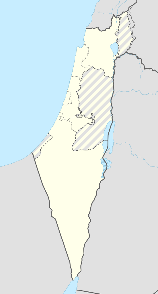
Deutsch: Positionskarte von Israel
English: Location map of Israel
|
||||||||||||
| Calendata | |||||||||||||
| Fuent |
Trabajo propio utilizando:
|
||||||||||||
| Autor | NordNordWest | ||||||||||||
| SVG desarrollo | El código fuente de esta imagen SVG es válido. Este mapa fue creado con Adobe Illustrator
|
||||||||||||

Licenciando
Usage of this file with:

explanatory notes: Legally binding is only the full legalcode. For a free usage I recommend to respect the following licence conditions:
1. Provide my name as given above: NordNordWest,
2. a copy of, or the URI for, the applicable license: https://creativecommons.org/licenses/by-sa/3.0/de/legalcode,
3. the title of the work,
4. in the case of an adaptation, a credit identifying the use of the work in the adaptation.
This license and the rights granted hereunder will terminate automatically upon any breach by you of the terms of this license. Any of the above conditions can be waived if you get permission from the copyright holder. If you have questions or wish differing conditions, please contact me through nnwest or my discussion page ![]() t-online.de
t-online.de
- Ye libre:
- de compartir – de copiar, distribuir y transmitir o treballo
- de remezclar – d'adaptar o treballo
- Baixo as siguients condicions:
- atribución d'autoría – Ha d'atribuir l'autoría d'o treballo d'a traza especificada por l'autor u persona que l'haiga licenciau (pero no pas de traza que suchiera que l'autor/os autors refirma(n) u refirma(n) l'uso que faigas d'o treballo).
- compartir igual – En caso d'alterar, transformar u enamplar iste treballo, habrá de distribuir o treballo resultant solament baixo a mesma licencia u beluna equivalent.

Historial d'o fichero
Punche en una calendata/hora ta veyer o fichero como amaneixeba por ixas envueltas.
| Calendata/Hora | Miniatura | Dimensions | Usuario | Comentario | |
|---|---|---|---|---|---|
| actual | 08:27 19 set 2016 | | 614 × 1141 (124 kB) | NordNordWest | Reverted to version as of 18:01, 18 September 2016 (UTC); AGAIN: upload your version as a new file please |
| 20:23 18 set 2016 |  | 461 × 856 (80 kB) | Salvabl | Highest quality, with the Israeli territories in the West Bank (Area C) | |
| 20:17 18 set 2016 |  | 614 × 1141 (124 kB) | Salvabl | Reverted to version as of 18:01, 18 September 2016 (UTC) | |
| 19:28 18 set 2016 |  | 614 × 1141 (186 kB) | Salvabl | Reverted to version as of 17:40, 18 September 2016 (UTC) | |
| 18:01 18 set 2016 |  | 614 × 1141 (124 kB) | NordNordWest | Reverted to version as of 17:12, 25 October 2015 (UTC), upload your version as a new file please | |
| 17:40 18 set 2016 |  | 614 × 1141 (186 kB) | Salvabl | Added the Area C (Israeli territories in the West Bank) | |
| 17:12 25 oct 2015 |  | 614 × 1141 (124 kB) | NordNordWest | more exact Jerusalem boundary | |
| 17:29 9 set 2014 |  | 614 × 1141 (123 kB) | NordNordWest | == {{int:filedesc}} == {{Information |Description= {{de|1=Positionskarte von Israel}} {{en|1=Location map of Israel}} {{Location map series N |top=33.5 |bottom=29.3 |left=33.7 |right=36.3 }} |Source={{Own using}} * United States National Imagery and Ma... |
Uso d'o fichero
Garra pachina tiene un vinclo ta iste fichero.
Uso de fichers globals
Os siguients wikis fan servir iste fichero:
- Uso en de.wikipedia.org
- Jerusalem
- Tel Aviv-Jaffa
- Haifa
- Akkon
- Nazareth
- Cholon
- Bet Guvrin
- En Hod
- Zichron Jaʿakov
- Nachscholim
- Dan (Kibbuz)
- Jokne’am
- Karmi’el
- Maʿalot-Tarschiha
- Kirjat Tiw’on
- Kirjat Schmona
- Migdal haEmek
- Kirjat Mal’achi
- Tiberias
- Degania
- Afula
- En Gedi
- En Dor
- Jotvata
- Aschkelon
- Jad Mordechai
- Chadera
- Lochamej haGeta’ot
- Tabgha
- Ginnossar
- Eilat
- Schawe Zion
- Jagur
- Netanja
- Naharija
- Kfar Saba
- Rosch haNikra
- Benutzer Diskussion:Leshonai
- Maʿagan Micha’el
- Sderot
- Jerocham
- Palmachim
- Rischon LeZion
- Kabul (Israel)
- Nahalal
- Bet Schemesch
- Lod
- Be’er Scheva
- Sdot Jam
- Safed
Veyer mas información sobre l'uso global d'iste fichero.