
Imachen:Guadeloupe department location map.svg

Tamaño de esta previsualización PNG del archivo SVG: 684 × 600 pixels. Atras resolucions: 274 × 240 pixels | 547 × 480 pixels | 876 × 768 pixels | 1168 × 1024 pixels | 2336 × 2048 pixels | 1015 × 890 pixels.
Fichero orichinal (fichero SVG, nominalment 1015 × 890 píxels, grandaria: 217 kB)
Resumen
| Posición de la cámara | | Ubicación de esta y otras imágenes en: OpenStreetMap |
|---|
| Descripción |
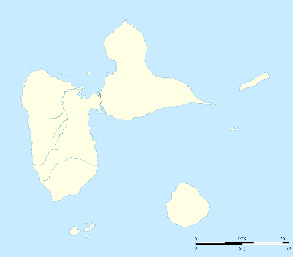
English: Blank administrative map of the region and department of Guadeloupe, France, for geo-location purpose, with arrondissements boundaries.
Français : Carte administrative vierge de la région et département de Guadeloupe, France, destinée à la géolocalisation, avec limite des arrondissements. Equirectangular projection, WGS84 datum
Geographic limits of the map:
|
||
| Calendata | |||
| Fuent |
Treballo de qui la cargó
|
||
| Autor | Eric Gaba (Sting - fr:Sting) | ||
| Permiso (Reutilización d'iste fichero) |
|
||
| Atras versions |
Derivative works of this file: France all regions.svg
|

Licenciando
Yo, titular d'os dreitos d'autor d'ista obra, la publico en os termins d'as siguients licencias:
Iste fichero se troba baixo a licencia Creative Commons Chenerica d'Atribución/Compartir-Igual 3.0.
- Ye libre:
- de compartir – de copiar, distribuir y transmitir o treballo
- de remezclar – d'adaptar o treballo
- Baixo as siguients condicions:
- atribución d'autoría – Ha d'atribuir l'autoría d'o treballo d'a traza especificada por l'autor u persona que l'haiga licenciau (pero no pas de traza que suchiera que l'autor/os autors refirma(n) u refirma(n) l'uso que faigas d'o treballo).
- compartir igual – En caso d'alterar, transformar u enamplar iste treballo, habrá de distribuir o treballo resultant solament baixo a mesma licencia u beluna equivalent.

|
Se gosa premetir a copia, a destribución y a modificación d'iste decumento baixo d'os termins d'a licencia de decumentación libre GNU, Versión 1.2 u qualsiquier altra versión posteriorment expublicata por a Free Software Foundation; sin de seccions invariaderas (Unvariant Sections), textos de portalada (Front-Cover Texts), ni textos de contraportalada (Back-Cover Texts). S'enclui una copia d'ista licencia en anglés en l'articlo GNU Free Documentation License". |
Vusté puet utilizar a licencia que s'estime mas.
Historial d'o fichero
Punche en una calendata/hora ta veyer o fichero como amaneixeba por ixas envueltas.
| Calendata/Hora | Miniatura | Dimensions | Usuario | Comentario | |
|---|---|---|---|---|---|
| actual | 20:00 22 set 2008 | | 1015 × 890 (217 kB) | Sting | == Summary == {{Location|16|10|30|N|61|24|00|W|scale:500000}} <br/> {{Information |Description={{en|Blank administrative map of the region and department of Guadeloupe, France, for geo-location purpose, with arrondissements boundaries.} |
Uso d'o fichero
As 3 pachinas emplegan iste fichero:
Uso de fichers globals
Os siguients wikis fan servir iste fichero:
- Uso en af.wikipedia.org
- Uso en als.wikipedia.org
- Uso en ar.wikipedia.org
- Uso en ast.wikipedia.org
- Uso en be-tarask.wikipedia.org
- Uso en be.wikipedia.org
- Uso en bg.wikipedia.org
- Uso en bs.wikipedia.org
- Uso en ca.wikipedia.org
- Uso en ceb.wikipedia.org
- Plantilya:Location map Guadeloupe
- Old Fort Point
- North Point
- Mont Saint-Jean
- Bombo
- Piton Island
- Whale Rock
- Baleine
- Moule
- Sugarloaf
- Le Pain de Sucre
- Les Saintes
- La Tortue
- La Baleine (pagklaro)
- Grande Pointe
- Ferry Point
- Saint Peter Island
- Sugarloaf Passage
- Portland Bay
- Cemetery Point
- Massacre Hill
- Pointe Noire
- Passe du Sud
- Petite Passe
- Morne Rouge
- Soufriere
- Salee River
- Pointe Mahaut
- L’Ilet
- Pointe des Salines
- Pointe Rouge
- Pointe Percée
- Pointe du Cimetière
- Porte d’Enfer
- Rivière Rouge
- Riviere Rouge
- Pointe-Noire
Veyer mas información sobre l'uso global d'iste fichero.