
Imachen:Europe continents.svg

Tamaño de esta previsualización PNG del archivo SVG: 800 × 520 pixels. Atras resolucions: 320 × 208 pixels | 640 × 416 pixels | 1024 × 666 pixels | 1280 × 832 pixels | 2560 × 1664 pixels.
Fichero orichinal (fichero SVG, nominalment 800 × 520 píxels, grandaria: 356 kB)
Resumen
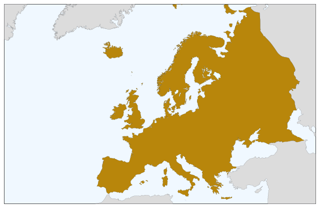
| Descripción | Blank map of Europe, showing only the continents. SVG format. |
| Calendata | |
| Fuent |
Este archivo deriva de: Europe countries.svg:  |
| Autor | Júlio Reis |
Licenciando
Iste fichero se troba baixo a licencia Creative Commons Chenerica d'Atribución/Compartir-Igual 3.0.
- Ye libre:
- de compartir – de copiar, distribuir y transmitir o treballo
- de remezclar – d'adaptar o treballo
- Baixo as siguients condicions:
- atribución d'autoría – Ha d'atribuir l'autoría d'o treballo d'a traza especificada por l'autor u persona que l'haiga licenciau (pero no pas de traza que suchiera que l'autor/os autors refirma(n) u refirma(n) l'uso que faigas d'o treballo).
- compartir igual – En caso d'alterar, transformar u enamplar iste treballo, habrá de distribuir o treballo resultant solament baixo a mesma licencia u beluna equivalent.
Historial d'o fichero
Punche en una calendata/hora ta veyer o fichero como amaneixeba por ixas envueltas.
| Calendata/Hora | Miniatura | Dimensions | Usuario | Comentario | |
|---|---|---|---|---|---|
| actual | 08:04 5 set 2022 | | 800 × 520 (356 kB) | Рагин1987 | Correction |
| 19:35 30 ago 2022 |  | 2560 × 1664 (496 kB) | Рагин1987 | More correct visualization of the dividing line on the territory of the Caucasus Range | |
| 10:50 23 may 2006 |  | 800 × 520 (305 kB) | Tintazul | {{Tintazul| |Description=Blank map of Europe, showing only the continents. SVG format. |Date=19 May 2006 |Source=Image:Europe countries.svg }} Category:Maps of Europe |
Uso d'o fichero
Garra pachina tiene un vinclo ta iste fichero.
Uso de fichers globals
Os siguients wikis fan servir iste fichero:
- Uso en sv.wikipedia.org