
Imachen:Carte du Conseil de l'Europe.png
Grandaria d'ista previsualización: 784 × 600 pixels. Atras resolucions: 314 × 240 pixels | 628 × 480 pixels | 1004 × 768 pixels | 1200 × 918 pixels.
Fichero orichinal (1200 × 918 píxels; grandaria d'o fichero: 284 kB; tipo MIME: image/png)

|
File:Map of Council of Europe member states by founding and later members.svg es una versión vectorial de este archivo. Debería usarse esa versión en lugar de este archivo PNG, cuando sea mejor.
File:Carte du Conseil de l'Europe.png → File:Map of Council of Europe member states by founding and later members.svg
Para más información, lee Ayuda:SVG. |
 |
Resumen
| Descripción | |
| Calendata | |
| Fuent | Own work by uploader, based on Image:Euro 2008.png |
| Autor | JLogan |
Licenciando
Yo, titular d'os dreitos d'autor d'ista obra, la publico en os termins d'as siguients licencias:
Iste fichero se troba baixo a licencia Creative Commons Chenerica d'Atribución/Compartir-Igual 3.0.
- Ye libre:
- de compartir – de copiar, distribuir y transmitir o treballo
- de remezclar – d'adaptar o treballo
- Baixo as siguients condicions:
- atribución d'autoría – Ha d'atribuir l'autoría d'o treballo d'a traza especificada por l'autor u persona que l'haiga licenciau (pero no pas de traza que suchiera que l'autor/os autors refirma(n) u refirma(n) l'uso que faigas d'o treballo).
- compartir igual – En caso d'alterar, transformar u enamplar iste treballo, habrá de distribuir o treballo resultant solament baixo a mesma licencia u beluna equivalent.

|
Se gosa premetir a copia, a destribución y a modificación d'iste decumento baixo d'os termins d'a licencia de decumentación libre GNU, Versión 1.2 u qualsiquier altra versión posteriorment expublicata por a Free Software Foundation; sin de seccions invariaderas (Unvariant Sections), textos de portalada (Front-Cover Texts), ni textos de contraportalada (Back-Cover Texts). S'enclui una copia d'ista licencia en anglés en l'articlo GNU Free Documentation License". |
Vusté puet utilizar a licencia que s'estime mas.
Historial d'o fichero
Punche en una calendata/hora ta veyer o fichero como amaneixeba por ixas envueltas.
| Calendata/Hora | Miniatura | Dimensions | Usuario | Comentario | |
|---|---|---|---|---|---|
| actual | 17:50 11 mar 2022 | | 1200 × 918 (284 kB) | Sbb1413 | Update. |
| 13:19 1 oct 2020 |  | 1200 × 1000 (38 kB) | Super Dromaeosaurus | Added Isle of Man, Guernsey and Jersey | |
| 04:49 6 chi 2015 |  | 1200 × 1000 (52 kB) | Jurryaany | Fixed German sovereignty over Borkum. | |
| 03:52 14 nov 2013 |  | 1200 × 1000 (48 kB) | Che829 | Reverted to version as of 21:36, 19 August 2008 - Nonfactual unsupported claim as per official documents published by CoE (Founders are only the 10 original signatories of w:Treaty of London (1949) on 5 May 1949 at St. James's Palace in London http... | |
| 21:27 13 feb 2009 |  | 1200 × 1000 (43 kB) | Emturan | Greece and Turkey are striped to show their founder member status while they joined to Council of Europe later. | |
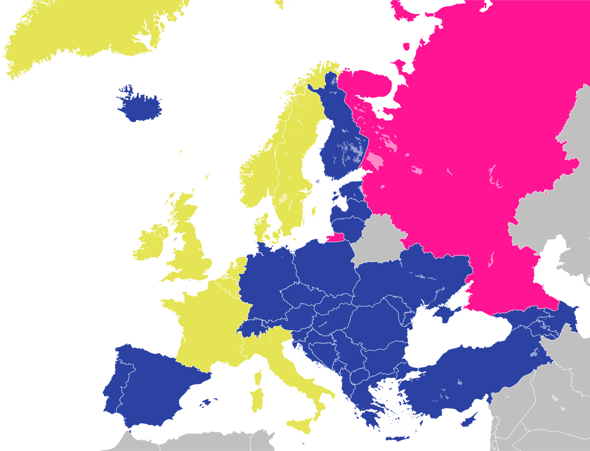
| 21:36 19 ago 2008 |  | 1200 × 1000 (48 kB) | JLogan | {{Information |Description={{en|1=Map of the Council of Europe.<br />{{legend|#e4e454|Founder}}{{legend|#2b42a3|Later member}}}} {{fr|1=Carte du Conseil de l'Europe.<br />{{legend|#e4e454|Fondateurs}}{{legend|#2b42a3|Autres}}}} | |
Uso d'o fichero
Garra pachina tiene un vinclo ta iste fichero.
Uso de fichers globals
Os siguients wikis fan servir iste fichero:
- Uso en en.wikipedia.org
- Uso en fr.wikipedia.org
- Uso en hy.wikipedia.org
- Uso en ja.wikipedia.org
- Uso en ru.wikipedia.org